
The Instructor Station has had a good deal of work over the last few builds. Two
things are worth pointing out.
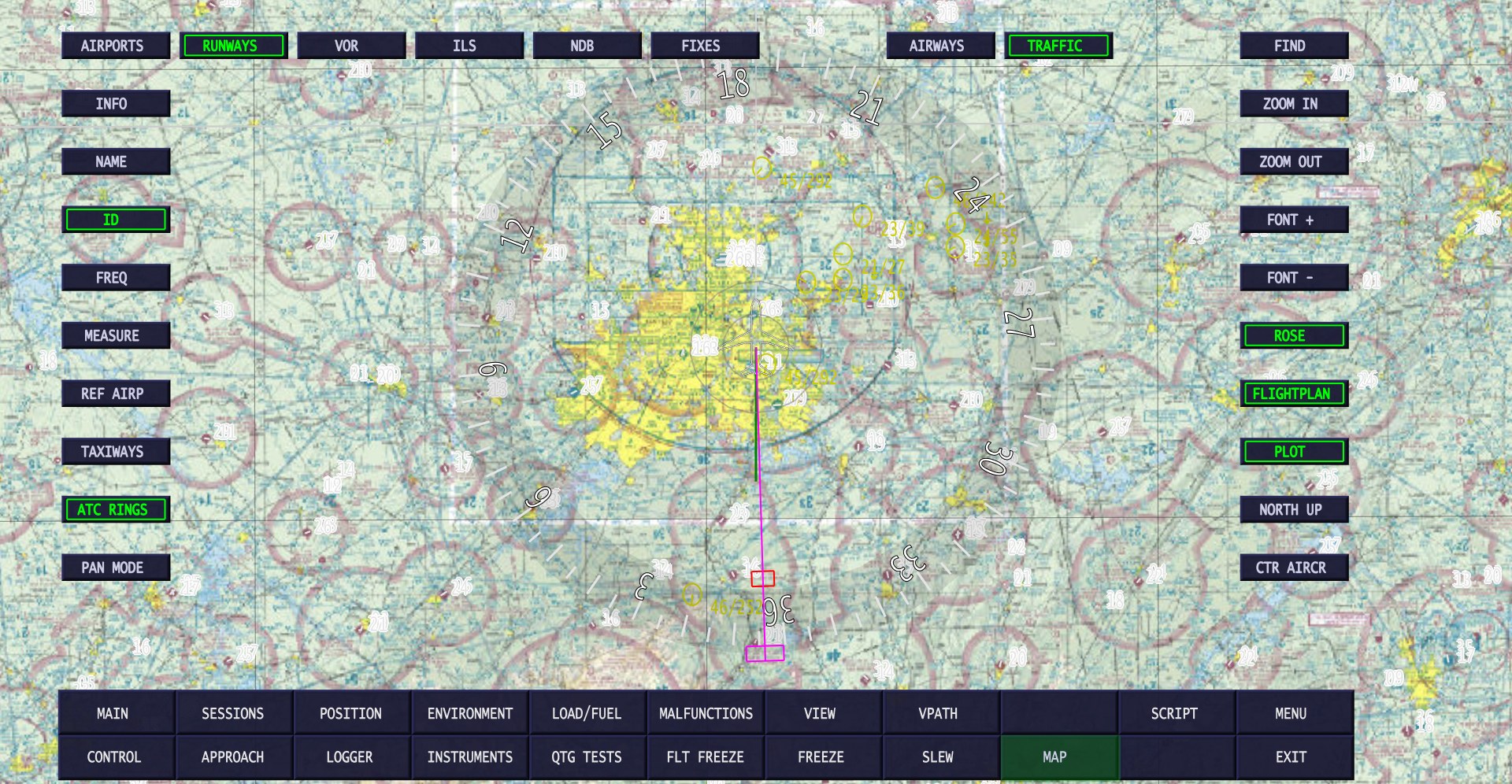
Map tiles, and FAA charts over the United States
The map downloads its own tiles now – TileFetcher.exe is no longer needed. Over the United
States you can put a real chart under the aircraft: FAA CHART cycles through
VFR sectional, IFR low and IFR high. Elsewhere
the topographic tiles are used. Navaids are drawn in chart colours over them, and
TILE FADE lightens the tiles when you want the navaids to stand out. There is
also a new terrain map background, with smooth shading.
The browser interface
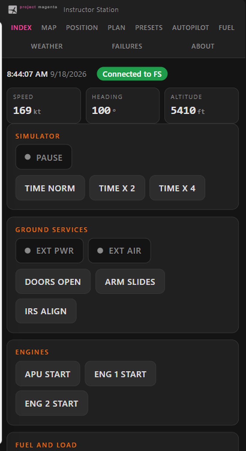
The Instructor Station serves its own pages over HTTP, so anything on the network with a
browser can be used as an instructor position – a tablet, a phone, a second PC – with nothing to
install on it. Not new, but rewritten, and worth another look if you tried it before and gave up:
it now handles up to 16 connections at once, which is what a phone needs for a single page, and
serves pages whether or not the simulator is connected.
The pages are plain HTML and CSS in the \http folder, so you can lay out the
controls you actually use.
The updates are in the your program updates section of this website. The full
description, now with screenshots taken against a running simulator, is on the
Instructor Station product
page.
Feedback is welcome, ideally through the ticket system.